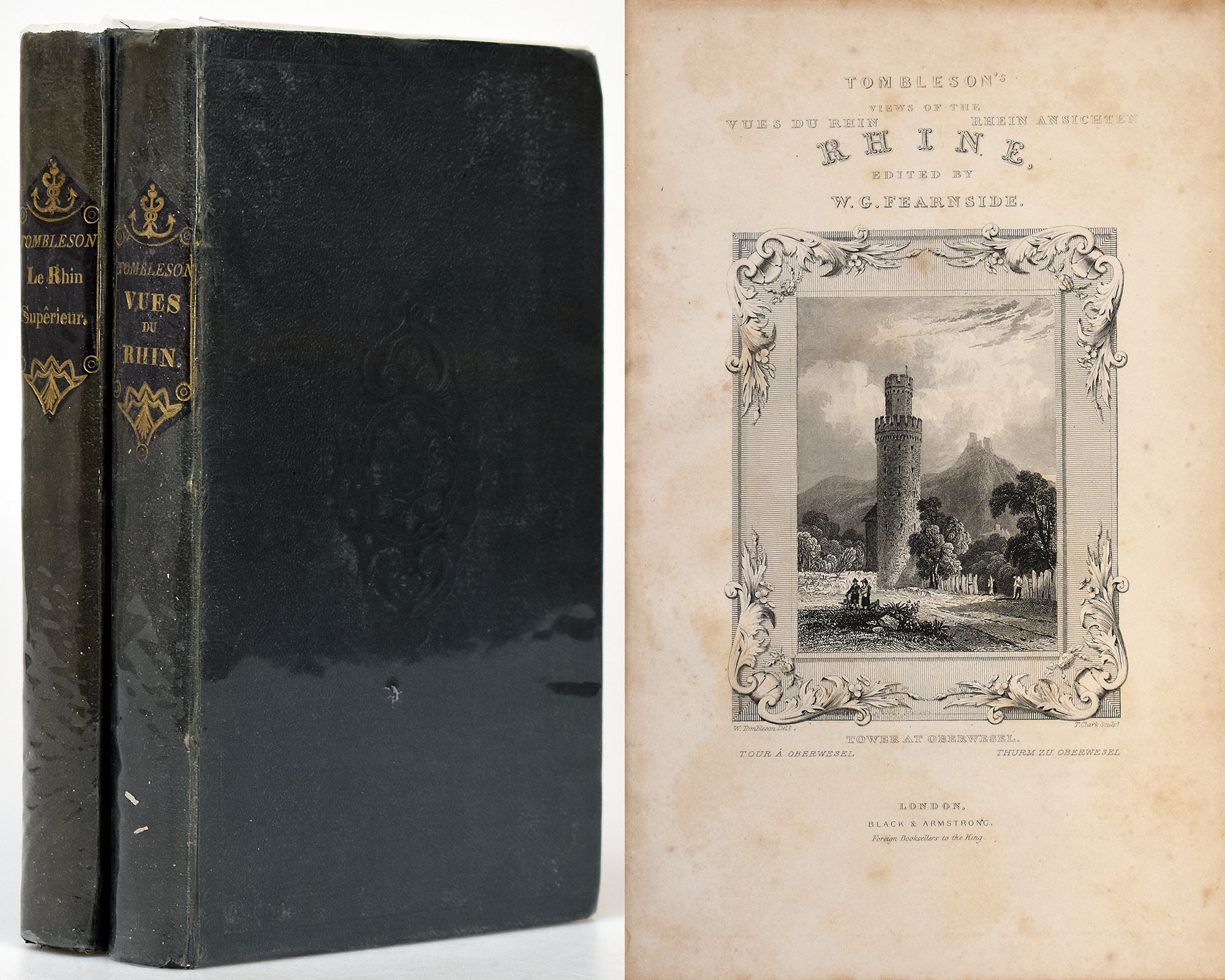
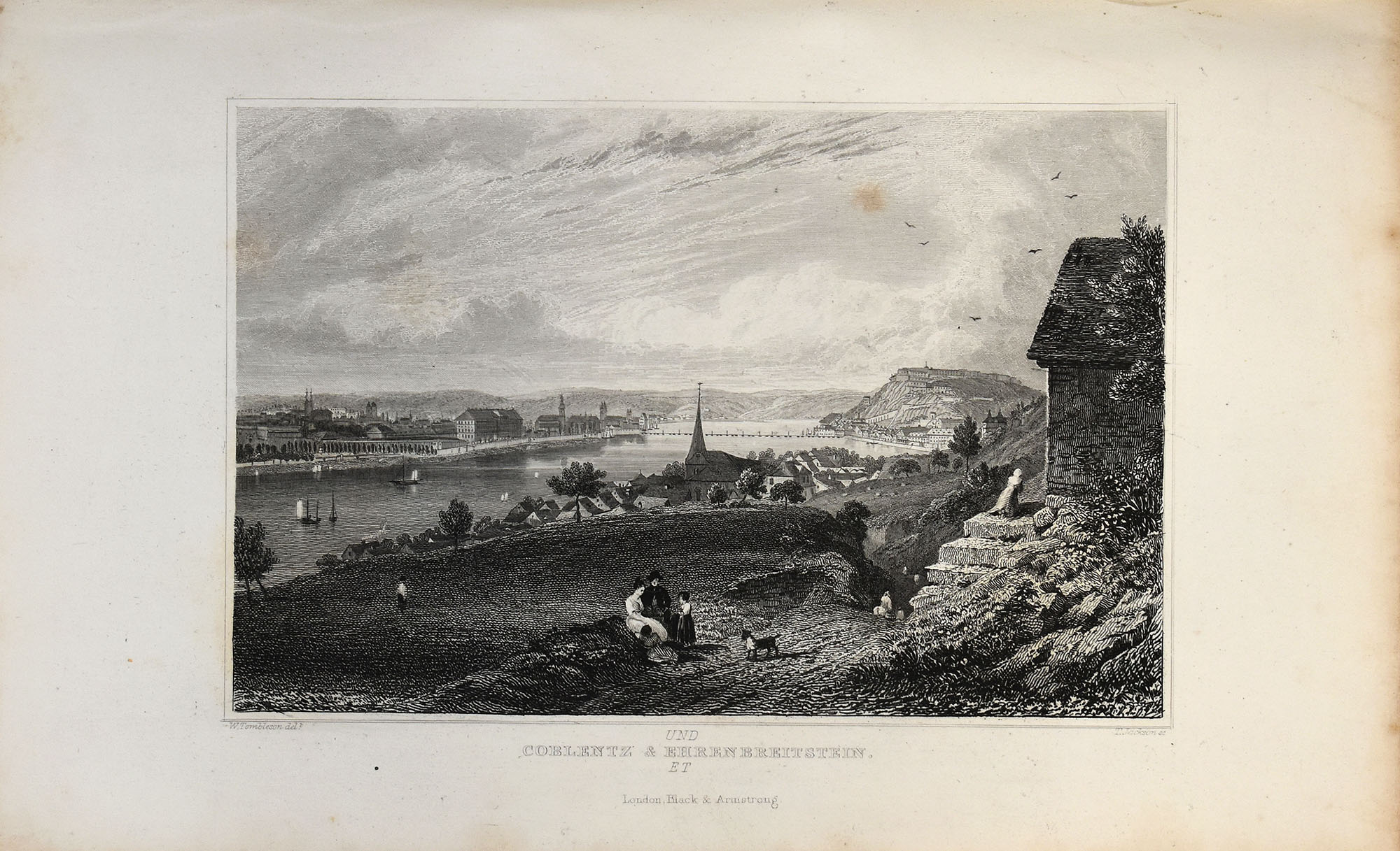
Tombleson, Tombleson's Views of the Rhine. 2 Bände. London, um 1840.
€ 200,--
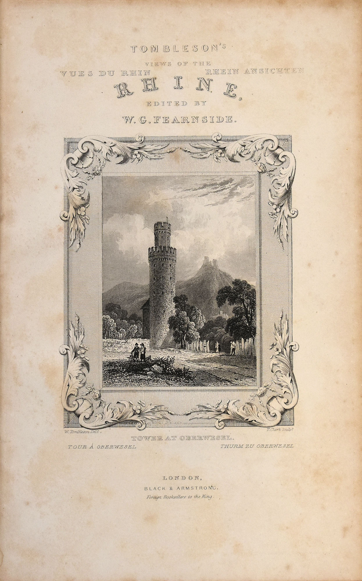
Tombleson, William und Fearnside, W.G. [Ed.]: (1) Tombleson’s Views of the Rhine. Vues du Rhin. Rhein Ansichten. (2) Tombleson’s Upper Rhine. Ober Rhein. Le Rhin Superieur. 2 Bände. London, Verlag Black and Armstrong, [um 1840]. 8°. 23,5 x 15 cm. [1] Blatt, 190 Seiten, [1] Blatt; [1] Blatt, VIII, 181 Seiten, [1] Blatt. 134 [von 138] Tafeln. Leinenbände der Zeit mit Blindprägung, goldgeprägtem Titel auf ledernem Rückenschild und Goldschnitt.
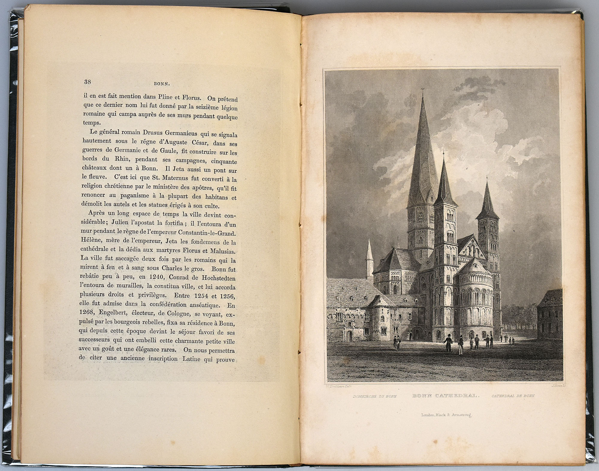
Erste Ausgabe. Französischsprachige Ausgabe. Mit gestochenen Titelblättern nach Tombleson durch Clark, einer mehrfach gefalteten Panoramakarte des Rheins von Köln bis Mainz, einer mehrfach gefalteten Karte des Oberrheins und insgesamt 134 [von 138] Tafeln. Einbände leicht berieben, Rücken aufgehellt, Vorsätze fleckig, „Upper Rhine“ im vorderen Innenfalz leicht eingerissen, Seiten und Tafeln leicht gebräunt und leicht bis stellenweiße mäßig stockfleckig, eine Lage im ersten Band lose beiliegend, es fehlen insgesamt 4 Tafeln (im ersten Band 1 Tafel, im zweiten 3 Tafeln), Faltkarte leicht angerändert und mit minimalen Randläsuren, beide Karten leicht knickspurig, ansonsten gutes Exemplar.
Cloth binding of the times with blind embossing, gilt-stamped title on leather spine label and gilt edges. First edition. French language edition. With engraved title pages after Tombleson by Clark, a multi-fold panoramic map of the Rhine from Cologne to Mainz, a multi-fold map of the Upper Rhine and a total of 134 [of 138] plates. Bindings slightly rubbed, spine brightened, endpapers stained, ‘Upper Rhine’ slightly torn in the front hinge, pages and plates slightly darkened and lightly to moderately foxed in places, one quire in the first volume loose, a total of 4 plates missing (1 plate in the first, 3 plates in the second volume), folding map with narrrow darkened edges and minimal marginal wear, both maps slightly creased, otherwise a good copy.
- Bestellnummer: 3717FB
- Kategorie: Bücher: Geografie / Reiseliteratur: Europa
- Tags: Ortskunde / Landeskunde / applied geography
